

Weather Update:
Donations
-
Help us to continue our progressive development,we appreciate your kind donation.
Advertisements

Follow Us On Social Media
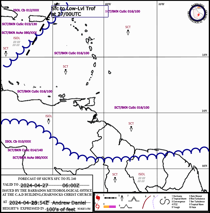
Aviation
BMS Cam Tower
Model Products
Radar Composites
Barbados Climate Predictions
Lastest Weather Information
Extended Forecast
General Information
Tropical Weather Discussion
Expires:No;;426284
AXNT20 KNHC 090611
TWDAT
Tropical Weather Discussion
NWS National Hurricane Center Miami FL
0615 UTC Tue Jun 9 2026
Tropical Weather Discussion for North America, Central America
Gulf of America, Caribbean Sea, northern sections of South
America, and Atlantic Ocean to the African coast from the
Equator to 31N. The following information is based on satellite
imagery, weather observations, radar and meteorological analysis.
Based on 0000 UTC surface analysis and satellite imagery through
0550 UTC.
...TROPICAL WAVES...
The axis of a tropical wave is near 28W, from 16N to 05N, moving
west at around 15 kt. Nearby convection is discussed in the
MONSOON TROUGH/ITCZ section below.
The axis of a tropical wave is near 38W, from 16N to 05N, moving
westward at 15 kt. Nearby convection is discussed in the MONSOON
TROUGH/ITCZ section below.
The axis of a tropical wave is near 51W, from 17N to 05N, moving
westward at around 10 to 15 kt. Nearby convection is discussed in
the MONSOON TROUGH/ITCZ section below.
The axis of a tropical wave is along 79W, south of 20N to central
coastal Panama, moving westward at 10 to 15 kt. The tropical wave
is interacting with a middle level trough, which is enhancing
convection. Scattered moderate to strong convection is noted from
11N to 18N between 72W and 83W.
...MONSOON TROUGH/ITCZ...
The monsoon trough extends off the coast of Africa near 12N16W
and extends SW to 05N27W. The ITCZ extends from 05N27W to 05N38W
to 02N51W. Scattered moderate convection is noted from 03N to
09N between 25W and 50W.
...GULF OF AMERICA...
High pressure prevails across the central and eastern Gulf
waters, anchored by a 1019 mb high centered nearby the Florida
Big Bend near 29N84W. The pressure gradient between this area of
high pressure and lower pressure over the remainder Gulf due to
the proximity of TS Boris and TS Cristina is supporting moderate
to fresh E to SE winds over the Gulf waters W of 87W along with 3
to 6 ft seas. Gentle to moderate E to SE winds prevail elsewhere
along with slight seas.
For the forecast, a surface ridge will continue to dominate the
Gulf region through the week, supporting gentle to moderate east
to southeast winds over the eastern Gulf, and moderate to fresh
winds in the western Gulf. Slight to moderate seas will prevail.
The exception will be off the Yucatan Peninsula, where a diurnal
trough will support moderate to fresh E winds pulsing to fresh to
strong speeds during the evenings through at least Wed. A trough
or weak low pressure center may emerge from the Yucatan Peninsula
into the Bay of Campeche, perhaps from late Thu through Fri night
accompanied by numerous showers and thunderstorms along with fresh
to strong winds and building seas.
...CARIBBEAN SEA...
A strong pressure gradient between the Atlantic ridge, a tropical
wave with axis along 79W, and T.S. Cristina in the Eastern
Pacific, offshore of Nicaragua, supports fresh to strong E to SE
winds with moderate seas in the NW Caribbean, including the Gulf
of Honduras. Moderate to fresh trades and moderate seas prevail
elsewhere.
For the forecast, the aforementioned conditions will likely last
through the forecast period. In addition, a trough or weak low
pressure center may emerge from the Yucatan Peninsula into the Bay
of Campeche perhaps later Thu through Fri night, maintaining a
tight pressure gradient over the NW Caribbean and the Gulf of
Honduras. Elsewhere, moderate to fresh winds and mostly moderate
seas will prevail.
...ATLANTIC OCEAN...
A surface trough extends from 31N65W to 24N74W. Scattered
showers and isolated thunderstorms are near and E of the trough
axis mainly W of 60W. High pressure dominates the remainder of
the discussion waters N of 216N, anchored by a 1034 mb high
centered SW of the Azores near 35N32W. Moderate or weaker winds
are N of 20N and W of 40W, moderate to fresh NE to E winds are
between 30W and 40W while fresh to strong NE winds are elsewhere E
of 30W along with rough seas to 10 ft. Across the tropical
Atlantic waters, winds are moderate to fresh and seas moderate to
7 ft.
For the forecast west of 55W, the aforementioned trough will
remain nearly stationary through midweek. A weak cold front will
move across the N waters Tue, then move very slowly or stall on
Wed, gradually dissipating by Thu. High pressure in the wake of
the front will shift eastward north of the area through the end of
the week while weakening, with the associated ridge extending
toward Florida and southeastern Georgia. The related pressure
gradient will generally allow for gentle to moderate winds and
slight to moderate seas. Increasing moisture resulting in
unsettled weather conditions is likely to impact the far western
section of the basin during the week.
$$
Ramos